

Las Vegas Flash Floods — Heavy Rain Triggers Warnings Across the Valley
Tropical moisture linked to Rachel brought intense rain to Southern Nevada on October 11. Here’s what forecasters reported, where warnings applied and why flash flooding remains a serious desert hazard.
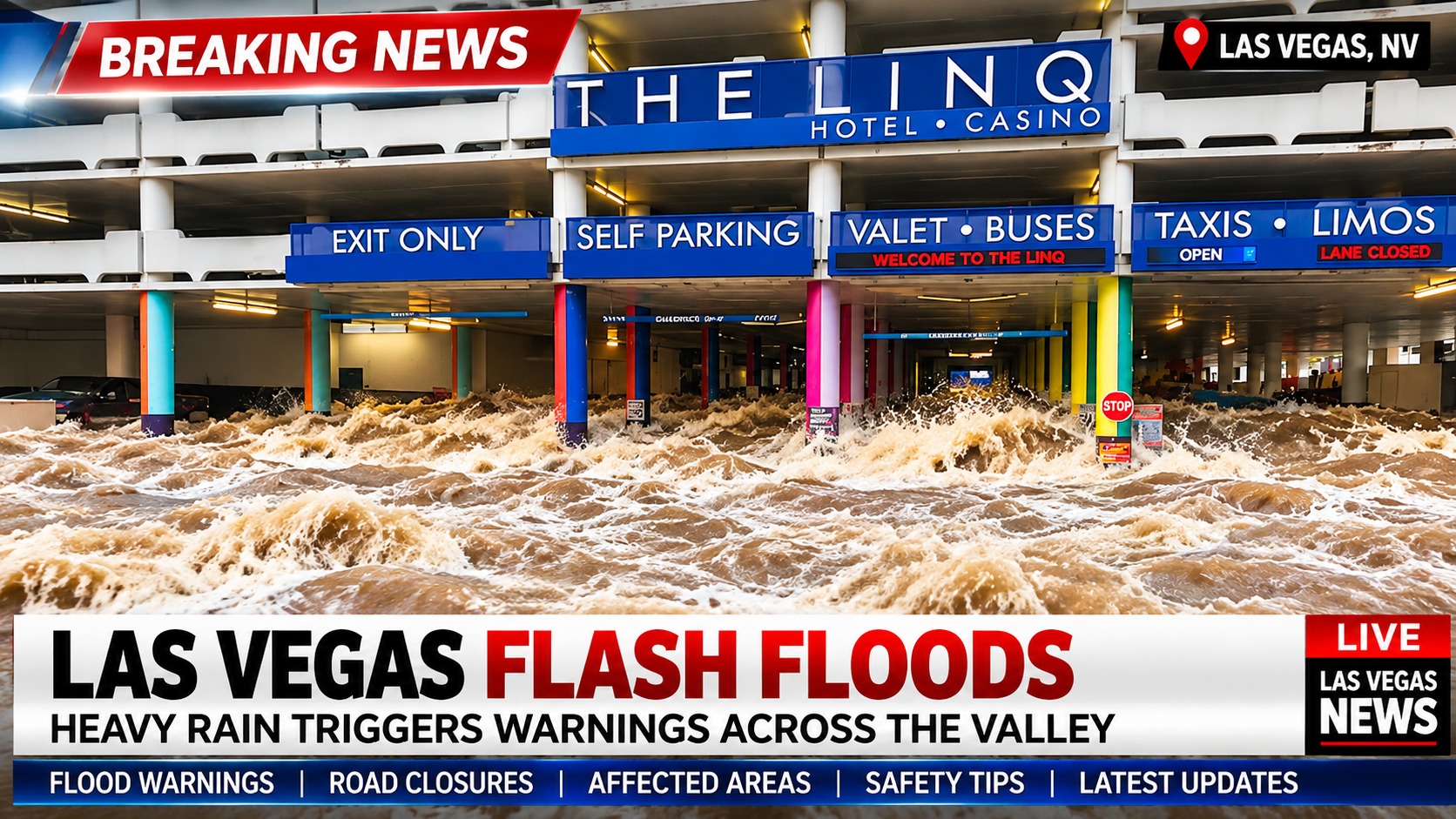
LAS VEGAS — Heavy rain associated with moisture from the remnants of tropical system Rachel prompted flash flood warnings across parts of the Las Vegas Valley on Sunday, October 11, 2026, as forecasters warned of dangerous runoff on roads, in washes and near low-lying crossings.
The National Weather Service reported radar-estimated rainfall of roughly 1.5 to 3 inches in portions of the warned area during the event. Those figures were estimates for specific locations—not a measurement for the entire Las Vegas Valley.
Las Vegas Flash Floods: What We Know
- When: Sunday, October 11, 2026.
- Where: A warning covered portions of west-central Clark County, including areas of Las Vegas and nearby communities.
- Rainfall: The National Weather Service cited radar estimates of 1.5–3 inches in the warned area; amounts varied by location.
- Cause: Moisture associated with the remnants of Rachel contributed to the heavy rain.
- Warning status: The morning warning was scheduled to expire at 8:30 a.m. Sunday. This article does not establish whether newer alerts were subsequently issued.
- Immediate precaution: Never drive through a flooded road or enter a flowing wash.
Flash Flood Warnings Issued for Parts of Las Vegas
A National Weather Service flash flood warning issued Sunday morning identified flooding concerns in parts of west-central Clark County. A 7:12 a.m. update described radar-indicated heavy rainfall and warned that flooding was occurring in the affected area.
Locations named in the warning included parts of Las Vegas, North Las Vegas, Summerlin, Centennial Hills, Spring Valley, Enterprise, the Las Vegas Strip and Downtown Las Vegas, among other areas.
Being listed in a warning does not mean every neighborhood or landmark experienced confirmed flooding. Street-level conditions can differ sharply even within the same warning area.
How Much Rain Fell in Las Vegas?
Rainfall was uneven across the valley. Local weather reporting indicated that Harry Reid International Airport recorded approximately 0.75 inches from the storm system, while some gauges around Centennial Hills registered more than 2.5 inches.
Help other readers find trusted local news
A short review helps Las Vegas readers discover fact-based reporting and supports independent local journalism.
These are different observing locations and may reflect different reporting intervals. The radar-based 1.5–3-inch estimate cited in the flood warning should not be treated as a single verified rain-gauge total.
For precise, location-specific rainfall observations, consult the Clark County Regional Flood Control District monitoring resources.
Which Las Vegas Neighborhoods Were Under Flood Warnings?
The warning area included well-known neighborhoods and destinations across the valley. Summerlin and Centennial Hills were among the western and northwestern communities named; Spring Valley and Enterprise were among the southern and southwestern locations referenced.
The warning also identified portions of the resort corridor and urban core, including the Las Vegas Strip and Fremont Street. That designation signals potential risk in the warned area; it is not confirmation that particular hotels, casinos or streets flooded.
What Did Rachel Have to Do With the Heavy Rain?
The October 11 rainfall was associated with tropical moisture linked to the remnants of Rachel. Tropical systems can transport substantial atmospheric moisture into the Desert Southwest even after losing their original tropical classification.
When that moisture combines with local weather conditions, thunderstorms and intense rain can develop. In Southern Nevada, short bursts of heavy rainfall can create hazardous runoff long before rain totals look extraordinary by the standards of wetter regions.
Why Does Las Vegas Flood So Quickly?
Las Vegas flash floods can develop rapidly because water runs off steep terrain and across roads, parking lots and other hard urban surfaces. Dry channels and washes can carry dangerous flows from storms occurring miles away.
Desert soils do not always absorb intense rainfall quickly enough to prevent runoff. The valley’s drainage system reduces risk, but no infrastructure can make driving through moving floodwater safe.
Can the Las Vegas Strip Flood?
Yes. The Strip and surrounding roads can experience localized flooding during intense storms, particularly in low-lying areas and at underpasses. The existence of a warning for the resort corridor, however, should not be interpreted as proof that every hotel or attraction was affected during this storm.
Visitors should check current transportation information and follow posted closures rather than relying on social media videos that may be from older storms.
Road Closures and Travel: What Is Confirmed?
This report does not independently verify a complete list of road closures, rescues or flight disruptions associated with the October 11 storm. Conditions can change quickly, and unverified social posts may misidentify the time or location of flooding.
For travel planning, use Nevada 511 road conditions and official local transportation or airport updates.
Flash Flood Safety for Residents and Visitors
Before You Drive
- Turn around, don’t drown: Never attempt to cross water covering a roadway.
- Avoid washes and flood channels: Flow can arrive suddenly from rain falling upstream.
- Use official alerts: Check weather warnings and road restrictions before leaving.
- Stay away from underpasses: Low points can fill rapidly during heavy downpours.
- In immediate danger: Move to higher ground and call emergency services when necessary.
What Happens Next?
Anyone searching for Las Vegas flooding today should check the latest advisories rather than assume the October 11 warning remains active. This report documents the Sunday event; it is not a continuously updated alert feed.
Las Vegas News will distinguish new confirmed developments from historical storm information in any subsequent updates.
More Las Vegas Flash Flood Coverage
For background on the city’s recurring flood hazards and earlier reporting, see our related coverage:
RELATED COVERAGE · EARLIER REPORTLas Vegas Flash Floods: Previous Coverage and Background →Sources and Reporting Notes
Primary weather and safety resources: National Weather Service Las Vegas; Clark County Regional Flood Control District; Nevada 511.
Additional local weather reporting: FOX5 Las Vegas, October 11, 2026.
Editorial verification note: Rainfall and warning details are attributed to reports discussed as of October 11, 2026. This article does not claim to confirm current active warnings, individual road closures, injuries or rescues. Recheck source details before publication and add a precise update timestamp after any substantive revision.